|
Uncover the true stories of the Soldiers in WWII |
|
|
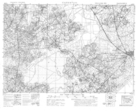
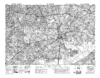
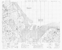
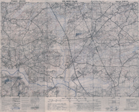
These maps are all 1:25,000 in scale, with detail
down to houses on the Normandy Peninsula. See
all the roadways, hedgerows and orchards, streams
and other topographical features. These are
high quality scans that will print out up to 36" x
36". These each come on their own CD,
with artwork on the disc as well. The price is
14.99 for each map.
|
|